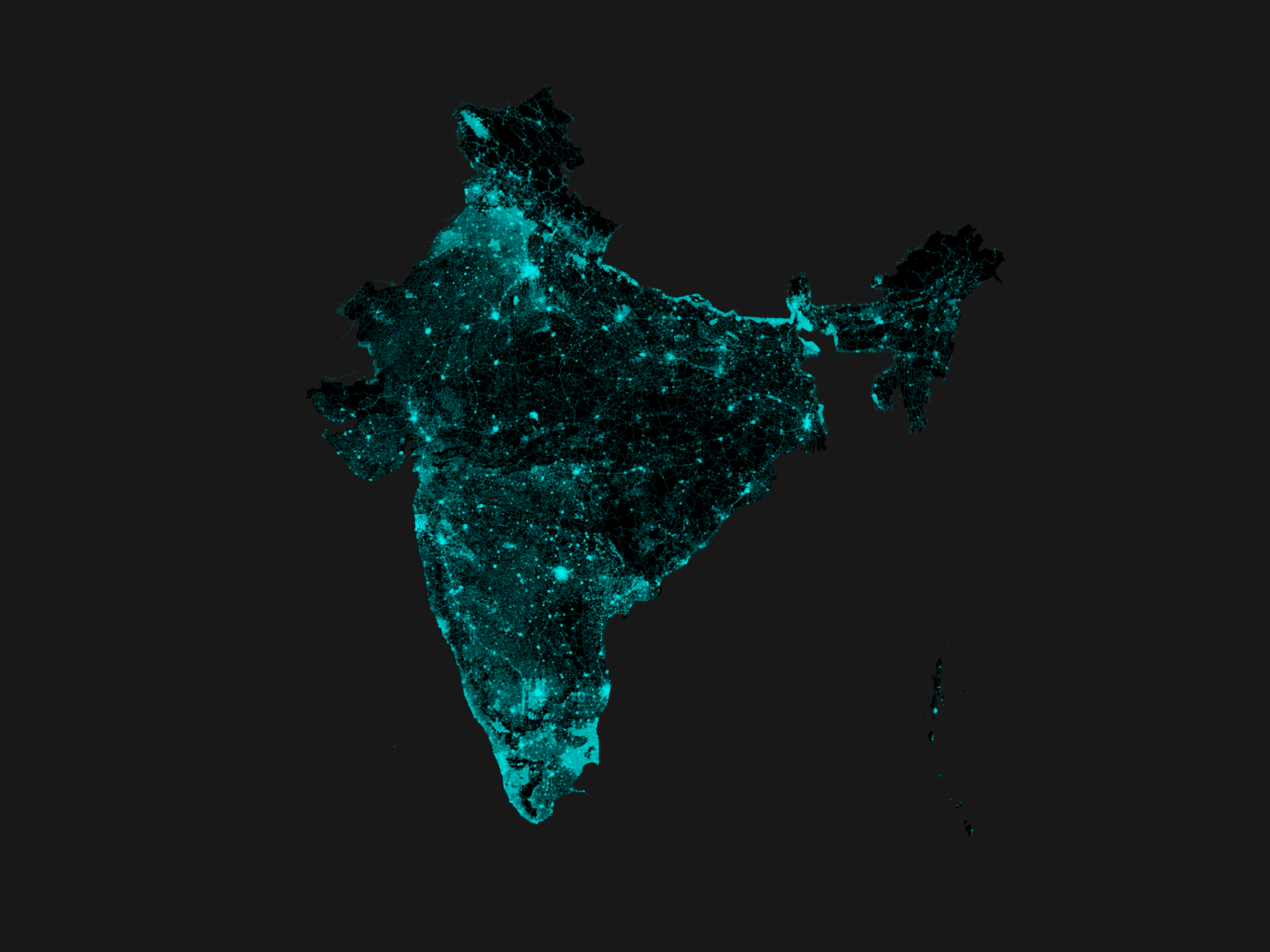
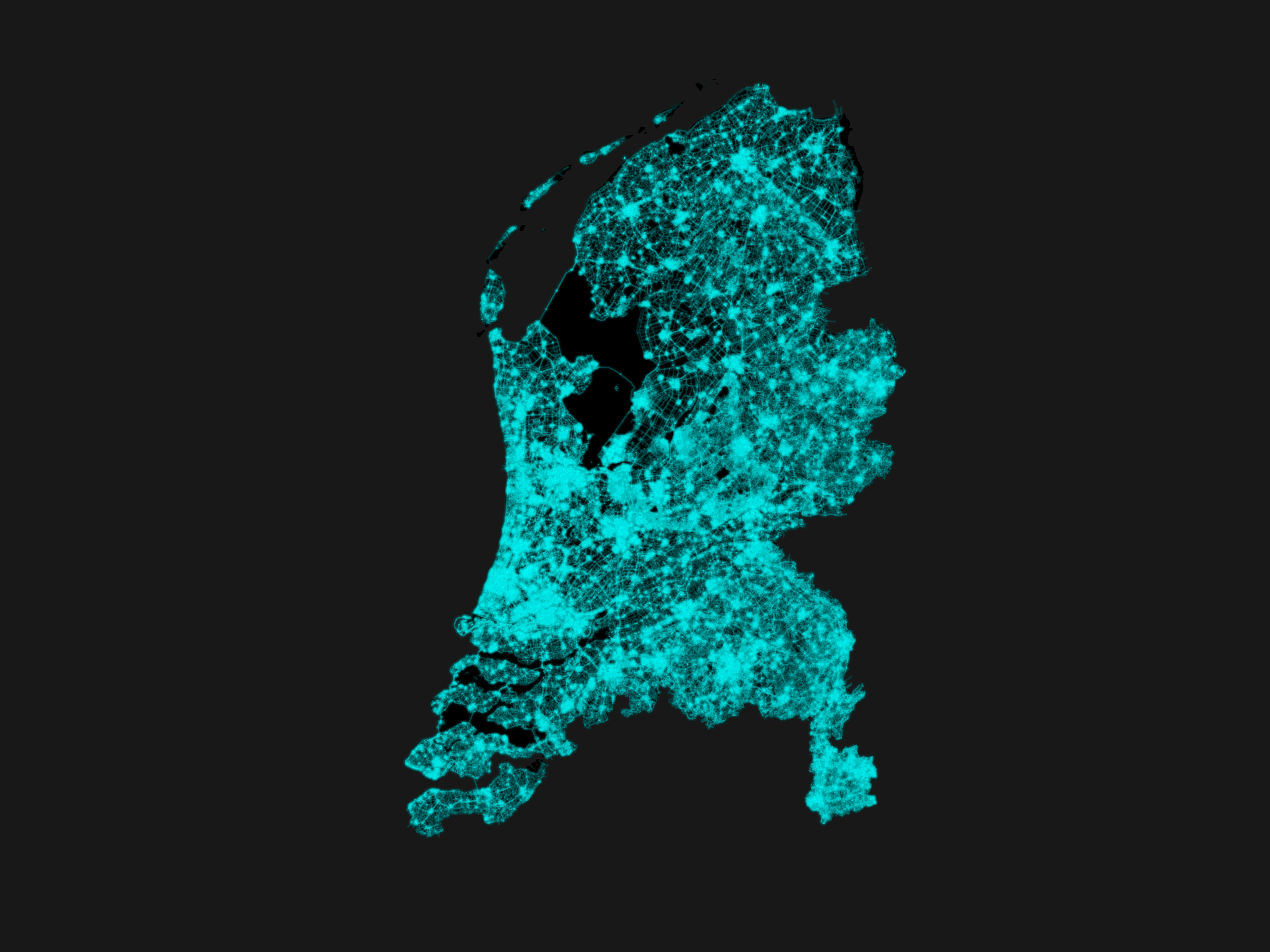
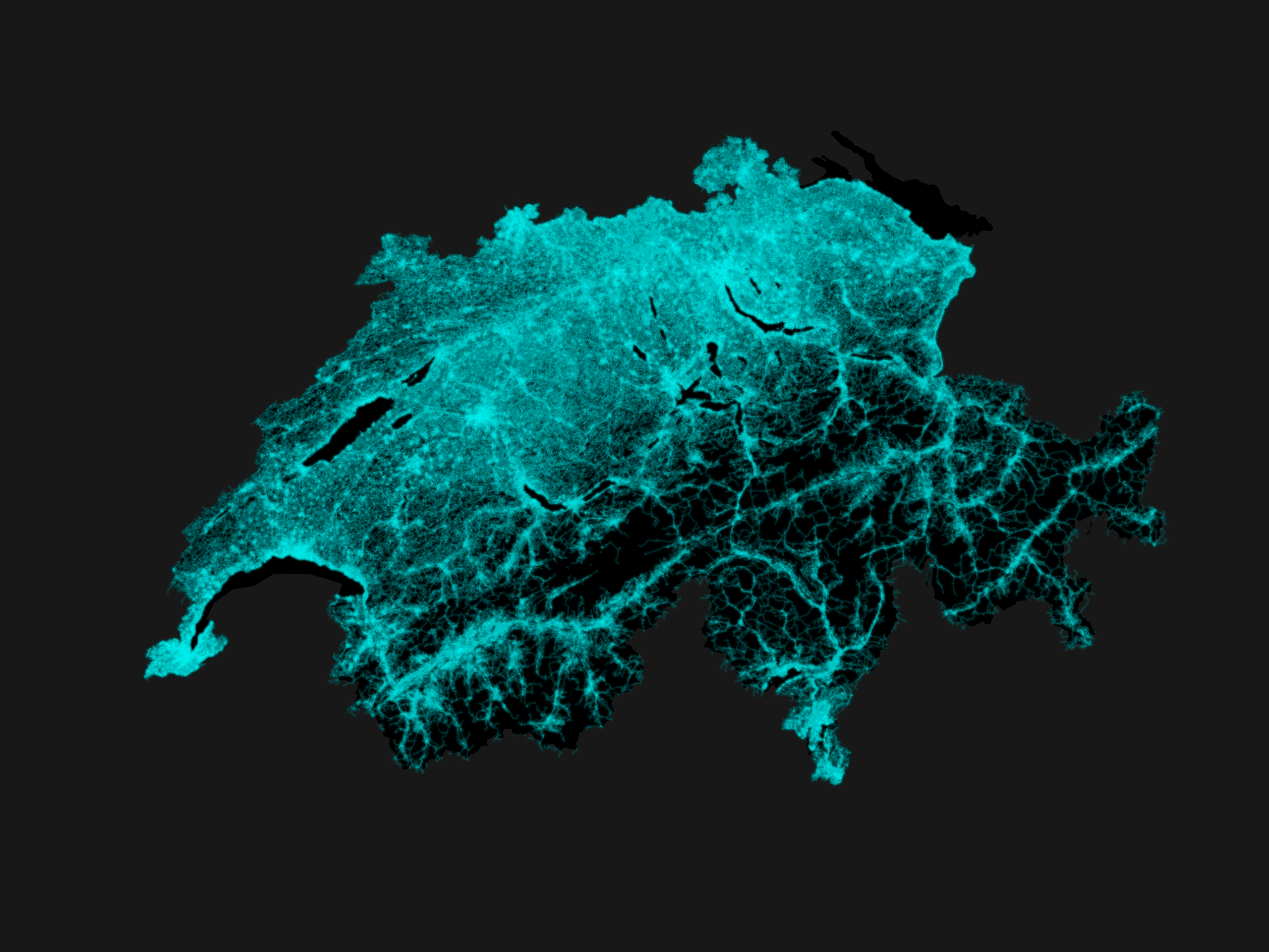
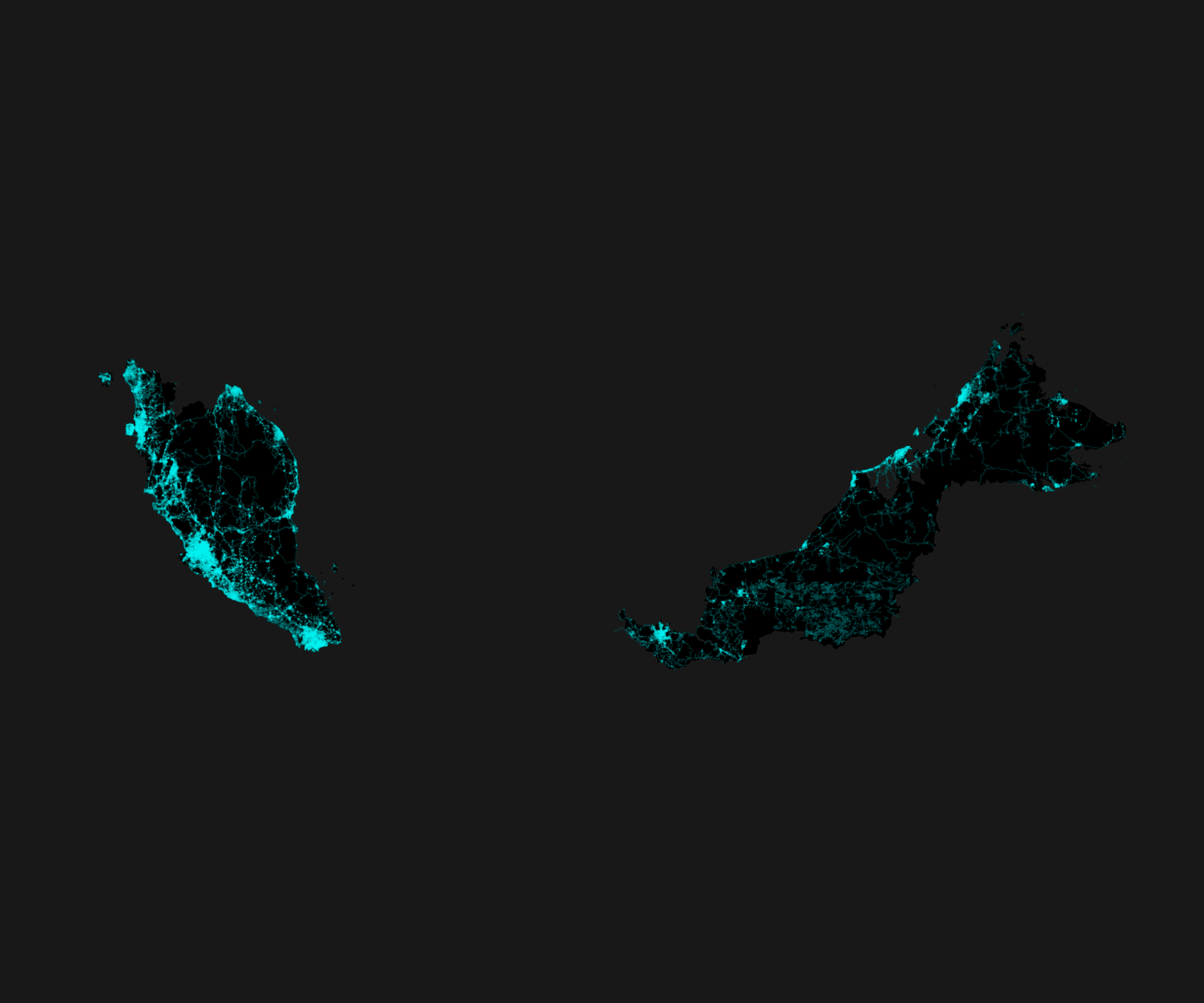
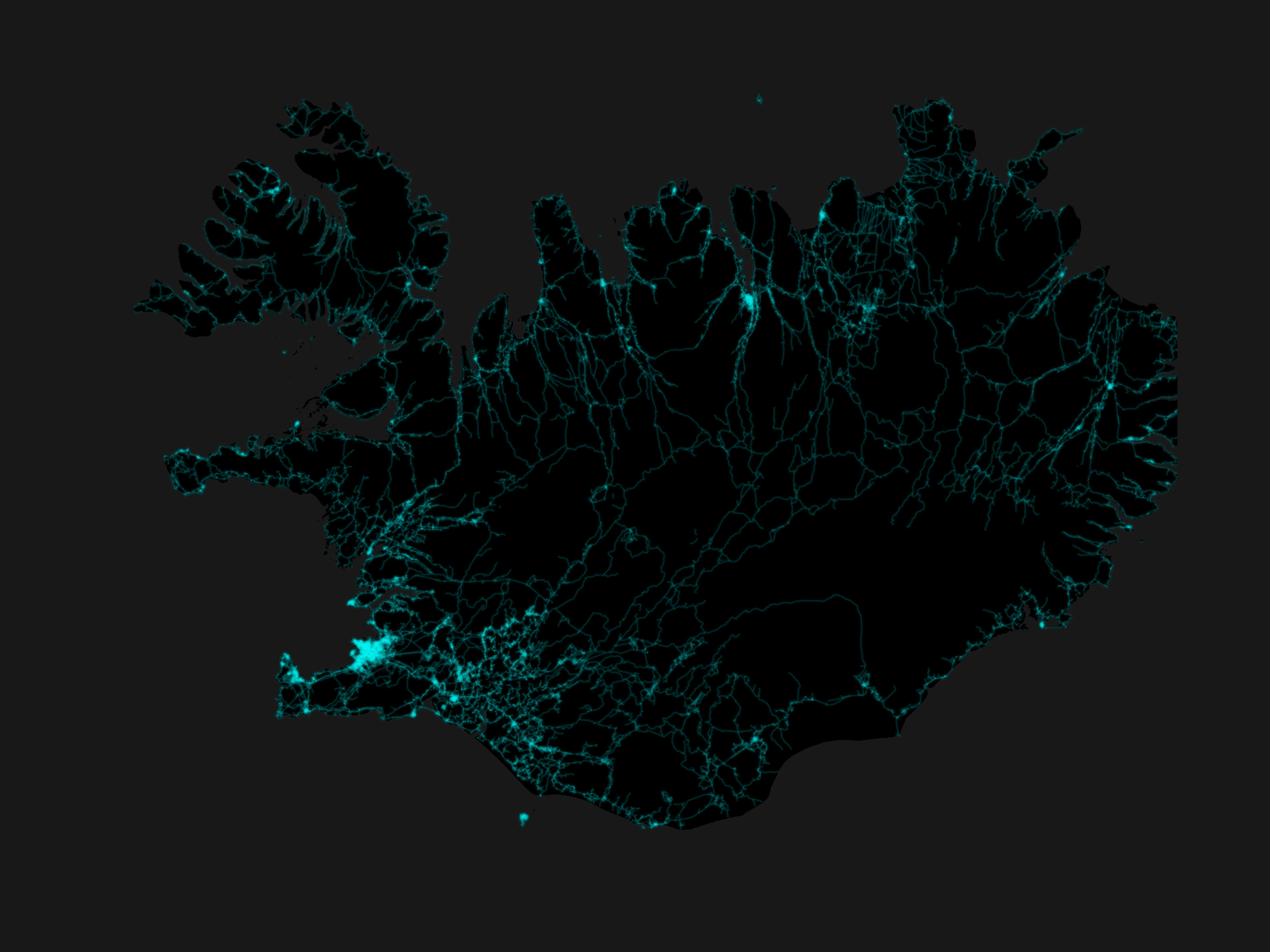
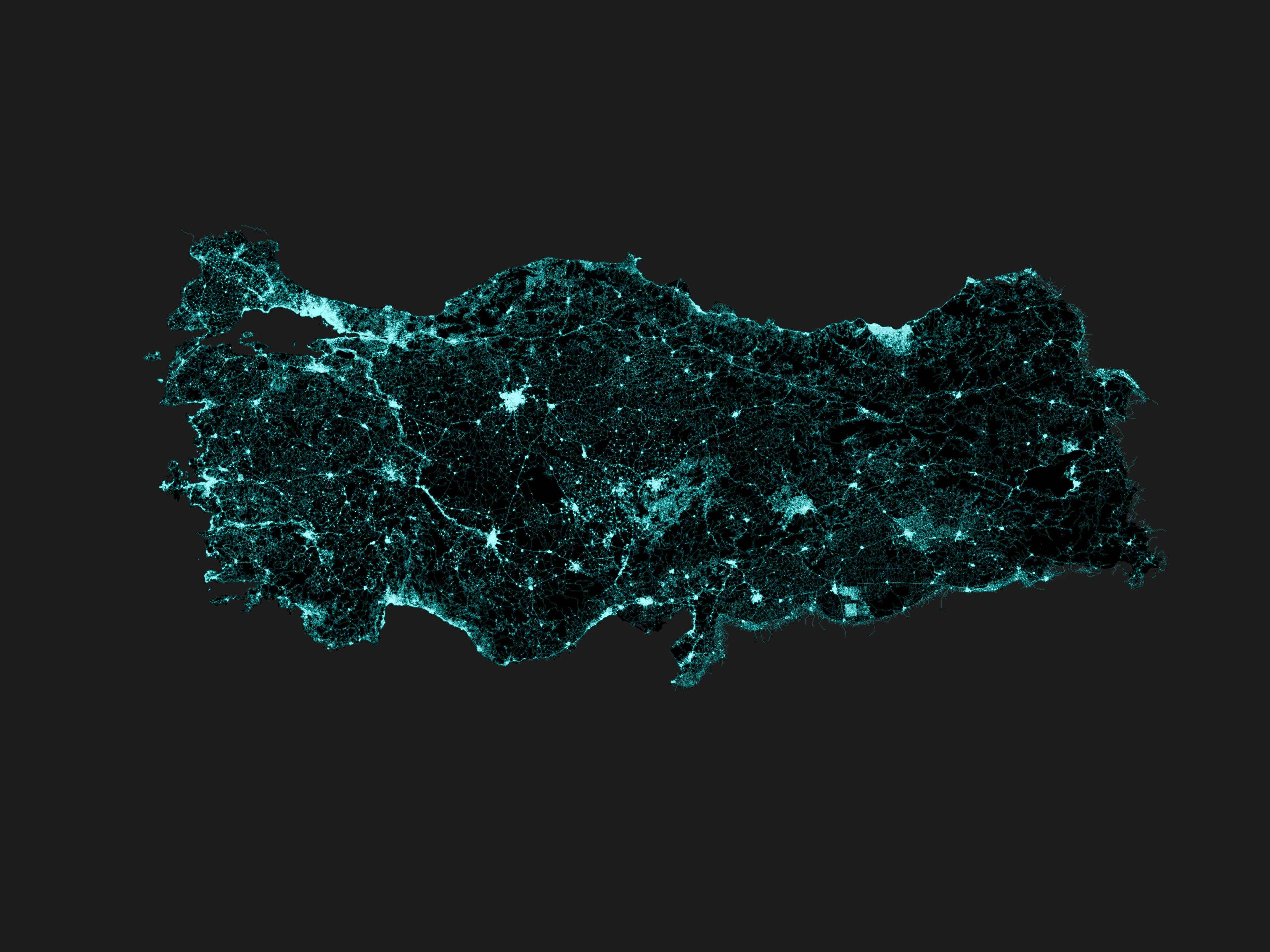
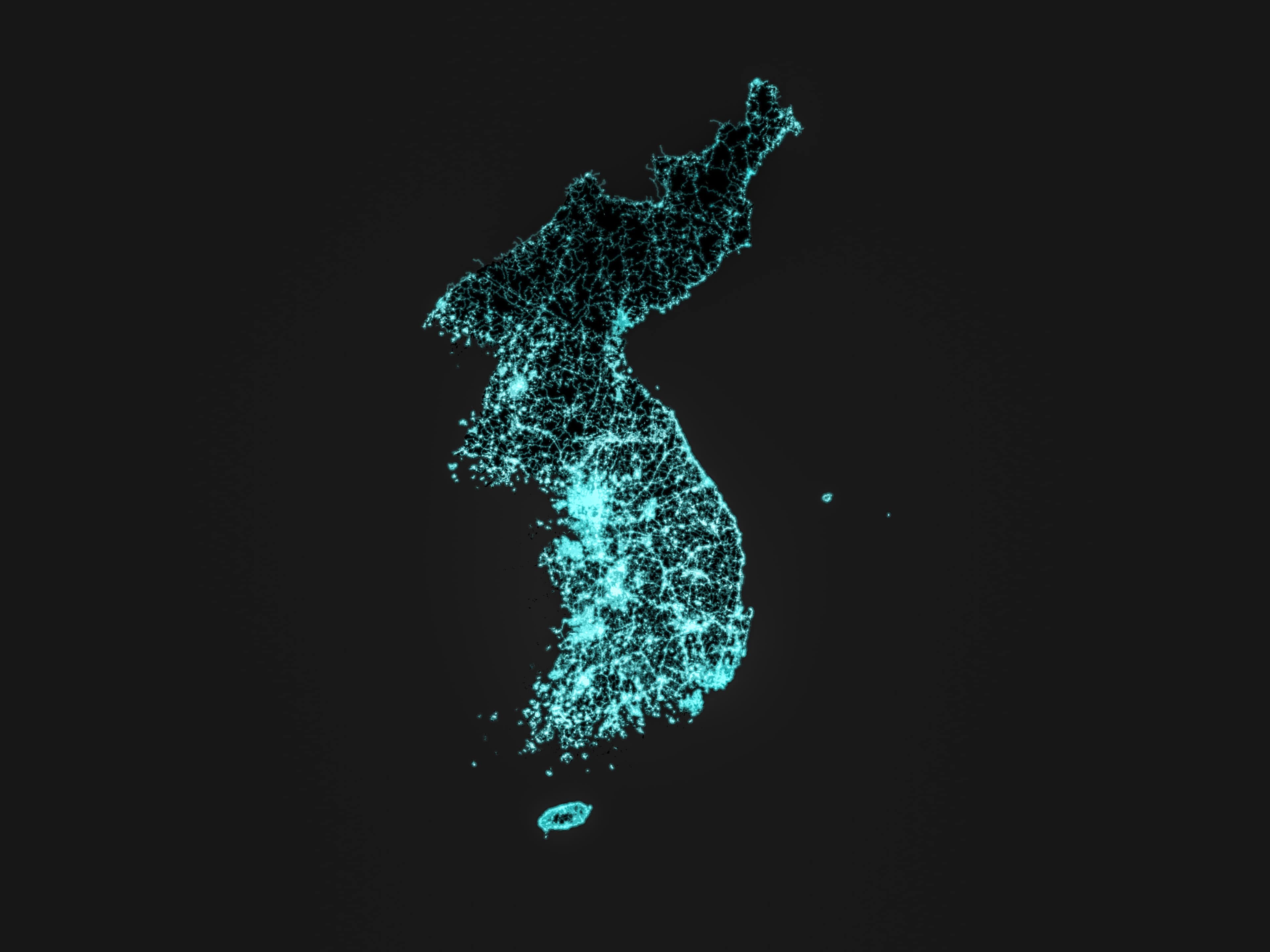
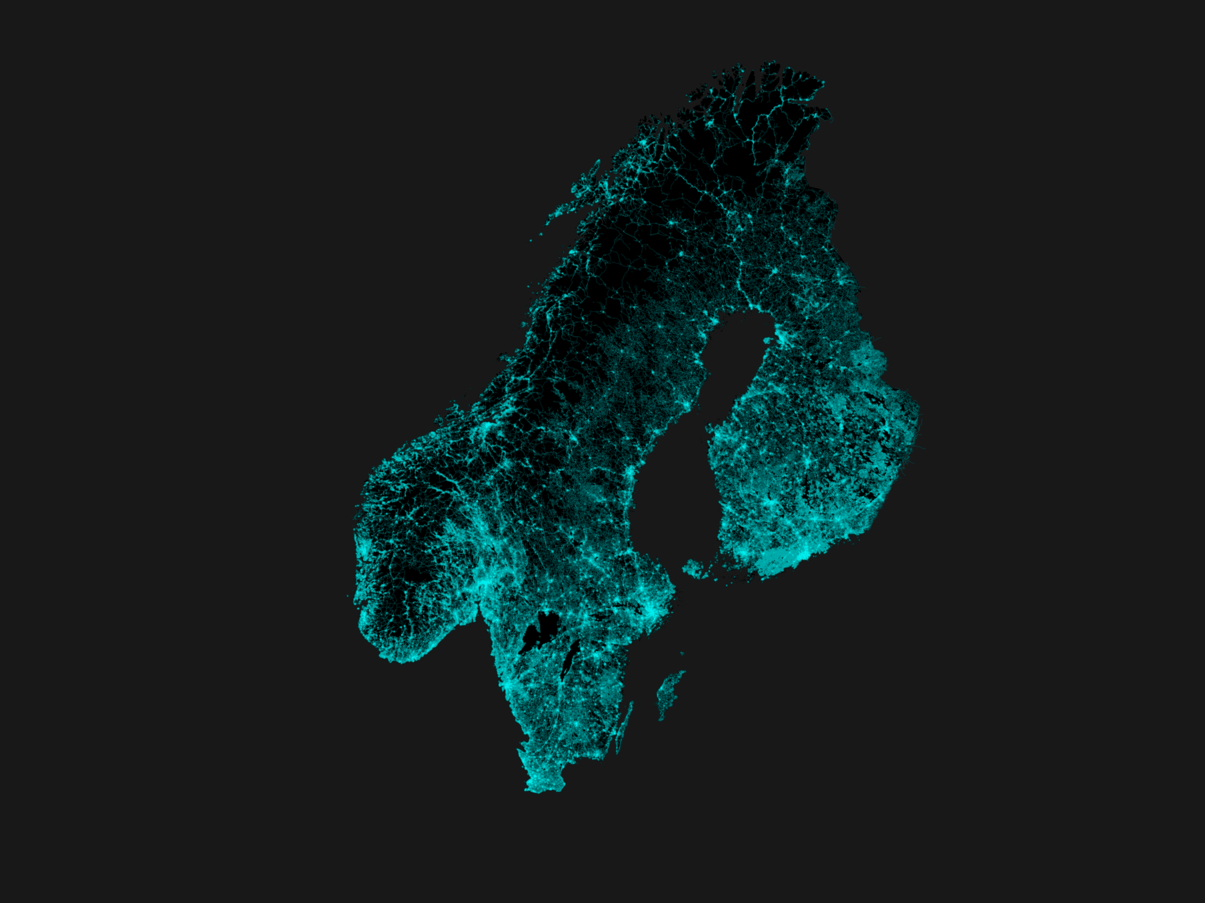
Visualization of roads at country level. Made with Python, Geopandas and Matplotlib.
Countries rendered
- India 🇮🇳
- Netherlands 🇳🇱
- Switzerland 🇨🇭
- Malaysia 🇲🇾
- Iceland 🇮🇸
- Turkey 🇹🇷
- Korea (South 🇰🇷 and North 🇰🇵)
- Finland 🇫🇮
- Sweden 🇸🇪
- Norway 🇳🇴
Visualization of roads at country level. Made with Python, Geopandas and Matplotlib.
Countries rendered