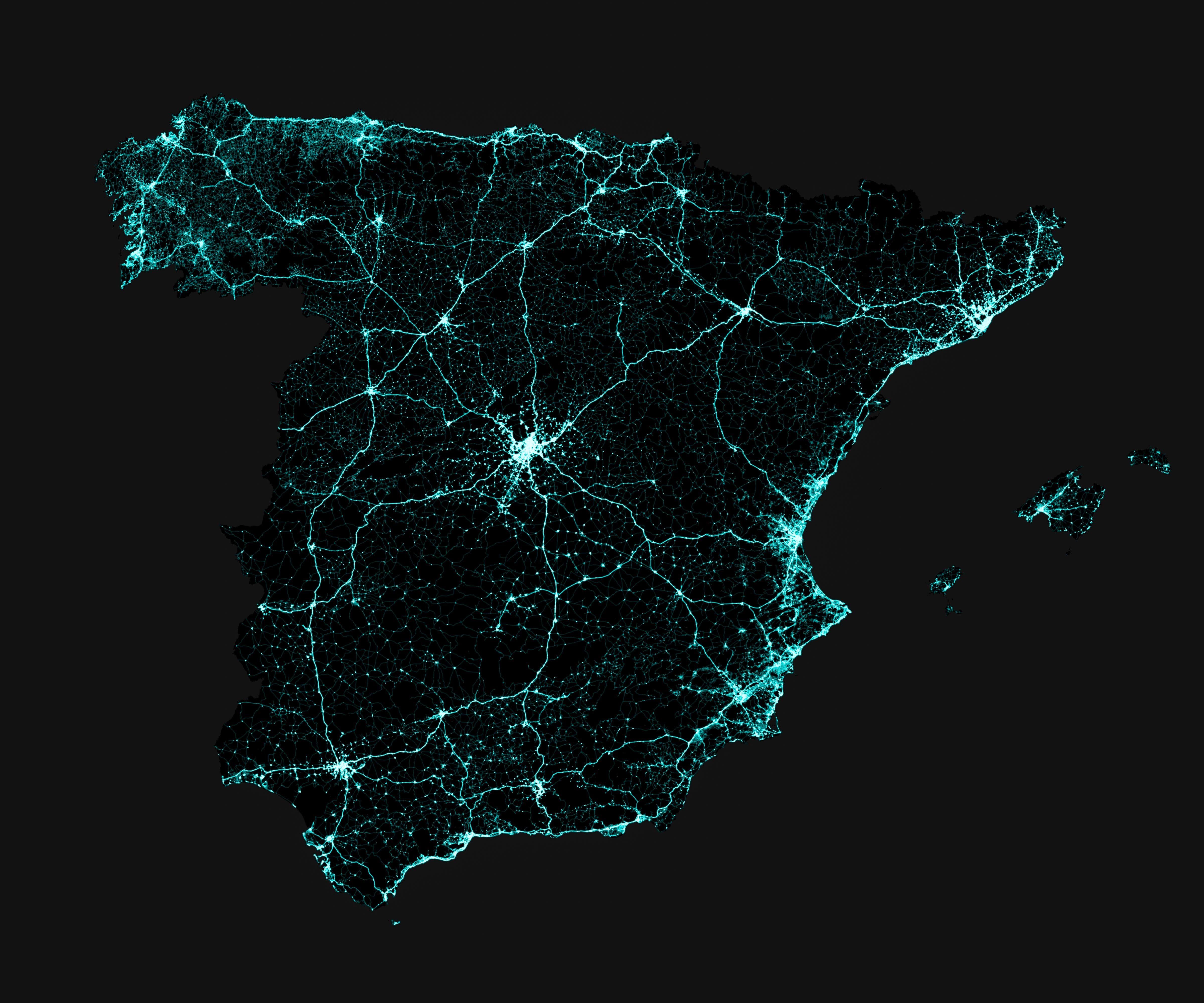
Visualization of Spain roads at country level and province level. Made with Python 3.6.8, Geopandas 0.5.0 and Matplotlib 3.1.0. It reached the top of r/MapPorn!

Date |
Jul 2019
Technologies |
python
·
geopandas
·
matplotlib
·
qgis
·
shapefile
·