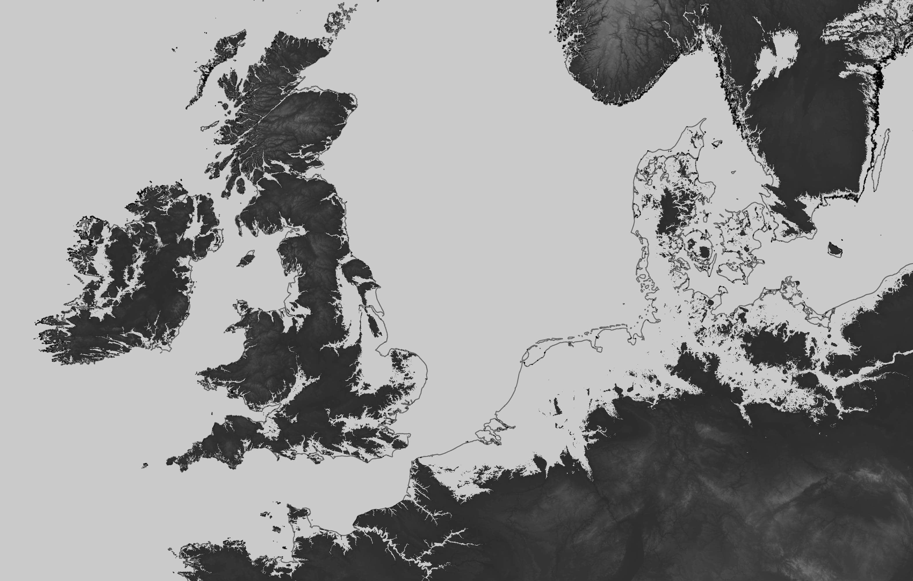
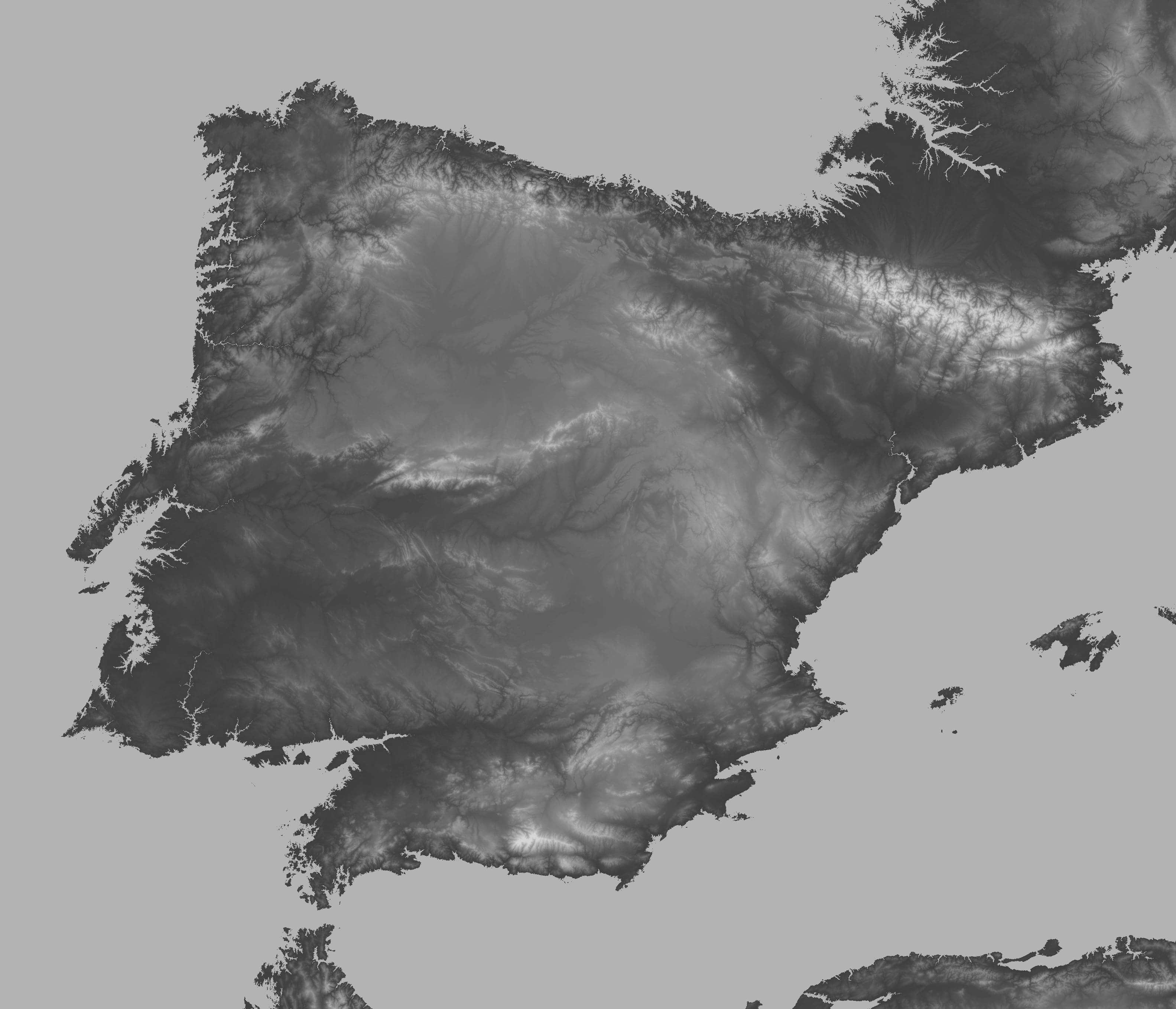
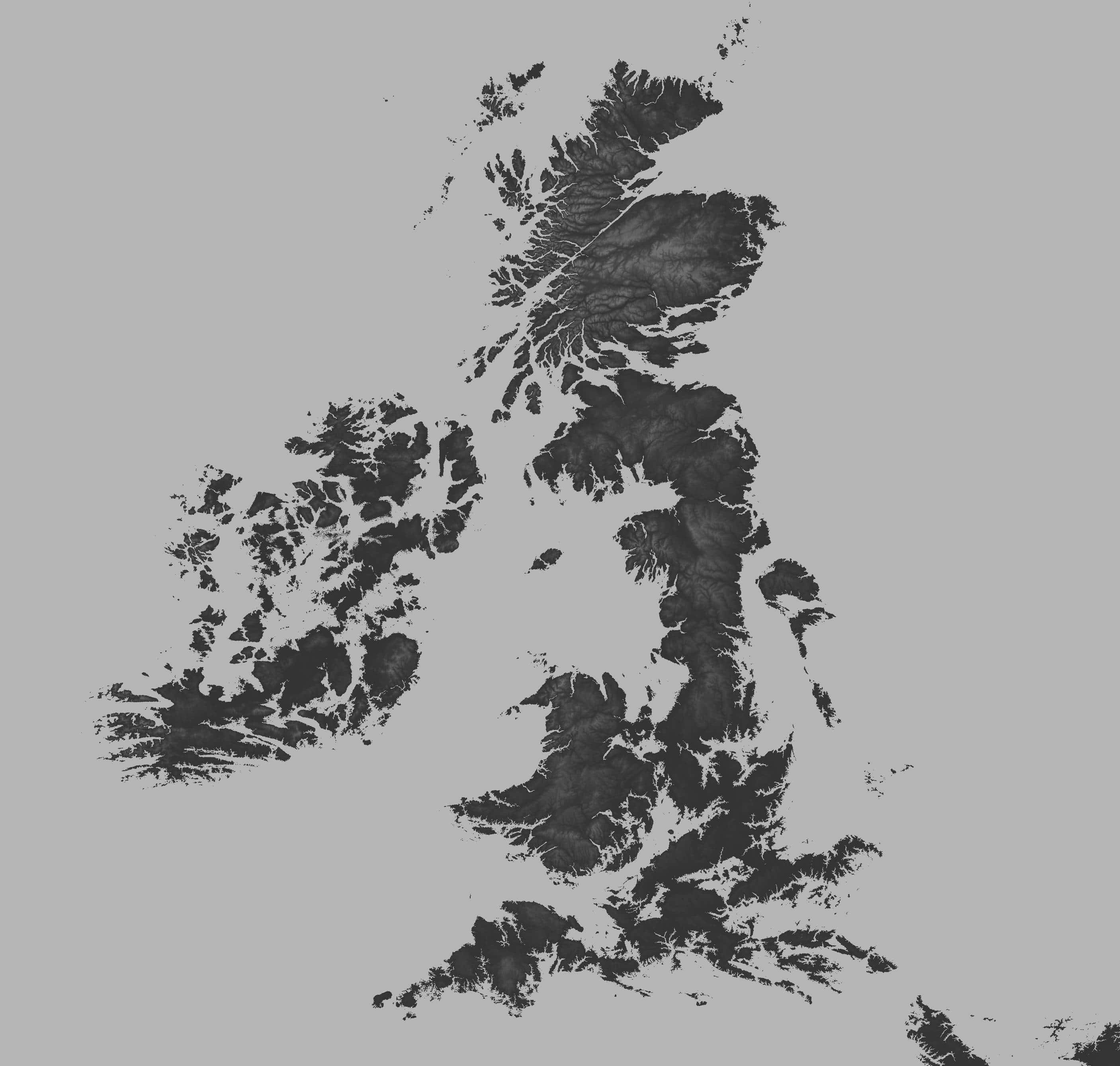
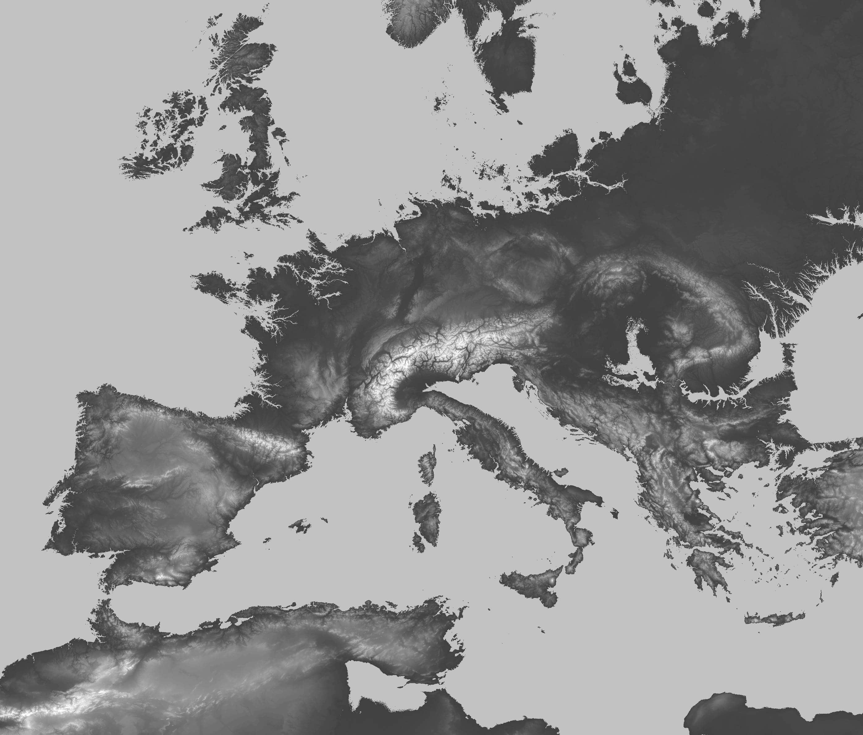
One-day project using NASA’s SRTM dataset. This data is available to download at: http://srtm.csi.cgiar.org/srtmdata/. In addition, Europe’s coastline was used, in shapefile format (available here). Northern sea figure was published to r/MapPorn subreddit.
Date |
Oct 2019
Technologies |
qgis
·
shapefile
·