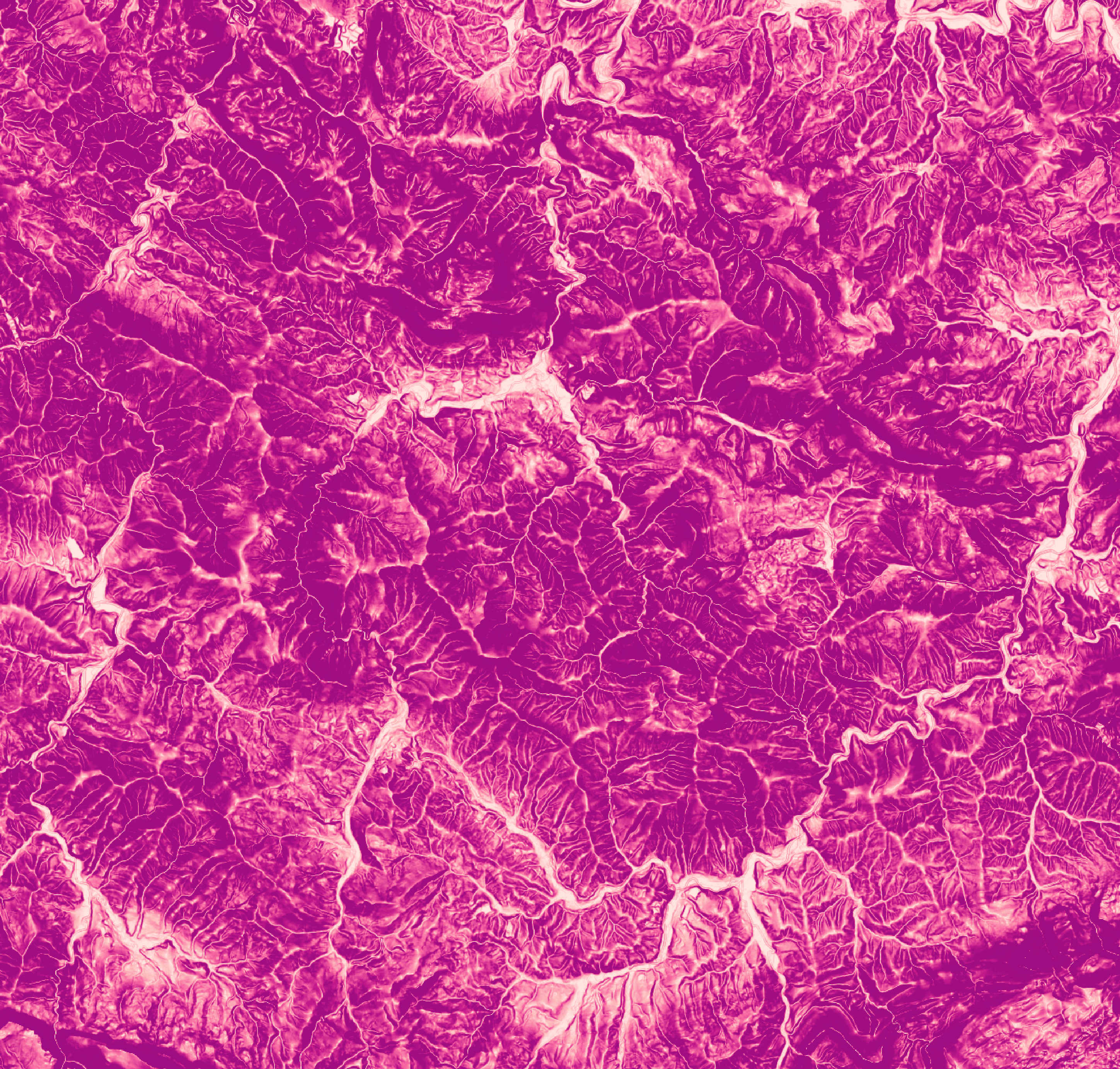
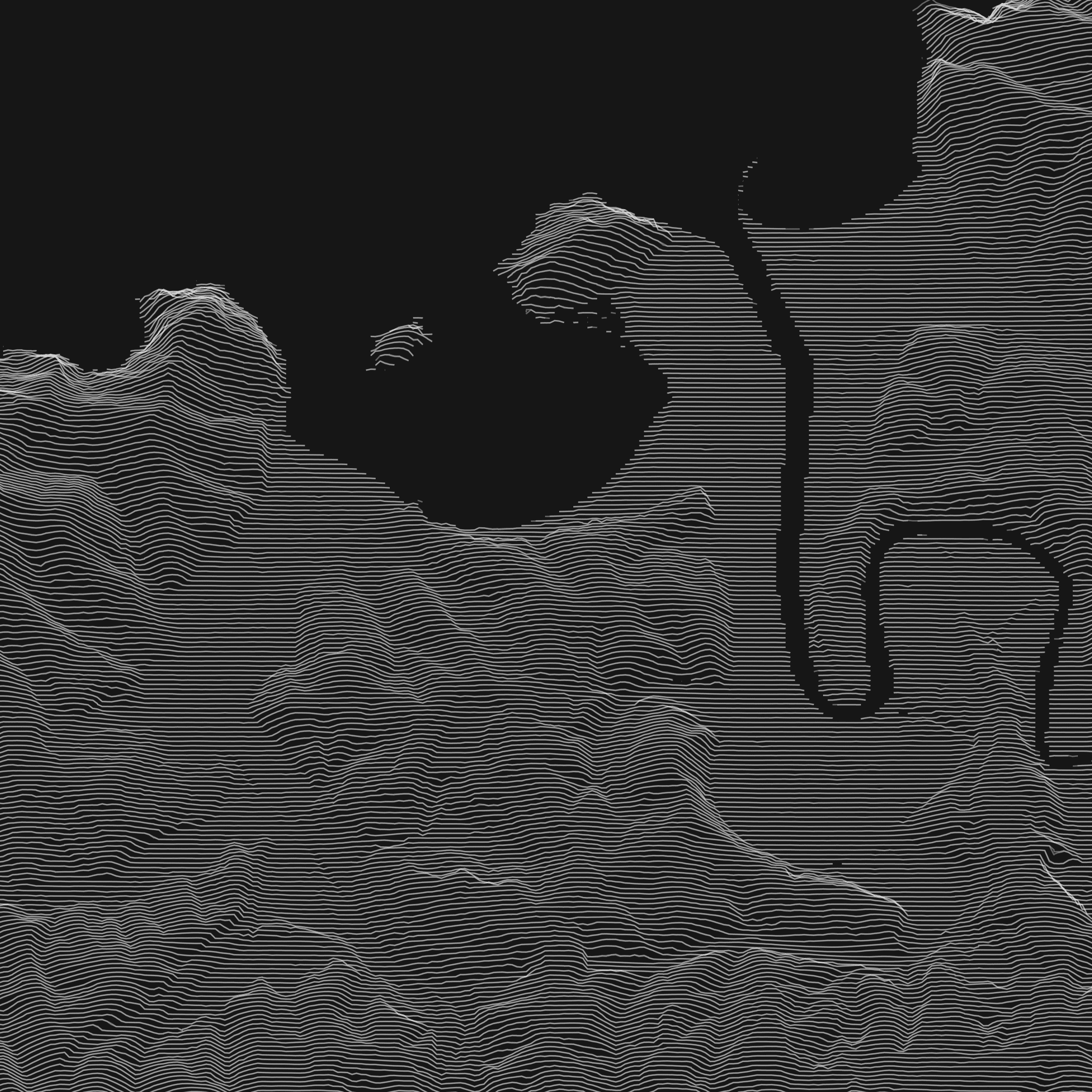
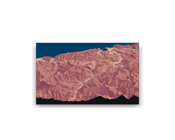
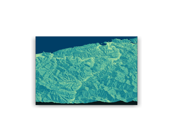
terrain elevation visualization
Date |
Oct 2019
Technologies |
r
·
ggplot2
·
rayshader
·